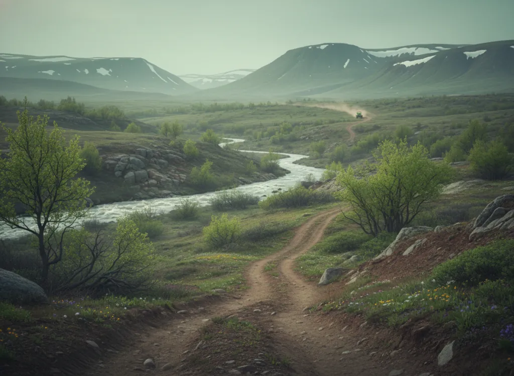
The Boise National Forest encompasses 2.6 million acres of the Idaho Batholith country in Boise, Valley, Elmore, Ada, and Gem counties, the granite mountain terrain immediately north and northeast of the Boise metropolitan area, Idaho's largest city and one of the fastest-growing metros in the American West. The OHV trail system operates on designated routes across the forest's four ranger districts, with the Boise, Mountain Home, Idaho City, and Cascade districts providing the primary riding terrain accessible from Boise, Nampa, Meridian, and the Treasure Valley population corridor. The Idaho City district on US-21 northeast of Boise provides the most popular OHV access: the Boise River corridor through Garden Valley, the Banner Ridge OHV area, and the forest roads climbing from the Boise River drainage to the 7,000-foot summit terrain of the Sawtooth and Boise Mountain ranges put significant high-country riding within 60-90 minutes of downtown Boise. The forest occupies the western Idaho Batholith, the massive Late Cretaceous granite intrusion that underlies much of central Idaho, and the trail character reflects the coarse granite substrate: rocky, rooted, and sandy in a way that distinguishes Idaho Batholith riding from the basalt and rhyolite terrain of the Snake River Plain below. The Frank Church-River of No Return Wilderness borders the forest on the north and east, and the OHV network operates in the national forest outside the wilderness boundary while the wilderness's trail system remains foot and horse accessible only. Cascade and Garden Valley provide staging infrastructure with campgrounds and services. Idaho OHV registration required. Boise NF supervisor's office in Boise (208-373-4100) manages current OHV route conditions.
Hours
Accessible approximately May through October; higher-elevation routes close under snow. No day-use fee. Idaho OHV registration required.
Phone
208-373-4100Trip openings, seasonal updates, and the occasional deal, straight to your inbox.
FAQ
Everything you need to know before you get started.
Have a question, or ready to book? Reach out and we’ll get right back to you.